Generating a custom cycling map with Mapnik and Carto
View the blogpost describing this project at https://dev.to/hiddewie/creating-a-custom-cycling-map-3g2a.
Download the example PDF output.
Cartography and features
Getting started
There are three scripts in this repository:
-
Downloads the required data into a Postgres database for the map.
-
A Python script which will generate the map for a Mapnik configuration. The Mapnik configuration can be generated by running Carto against
carto/project.mml. -
A Python script which will output a list of bounding boxes that will fit the configured page size and bounding box perfectly.
See the environment variables which can be configured for the scripts below.
Copy the distributed environment file .env.dist to .env. Fill in the required credentials for the U.S. Geological Survey. You can modify the .env file to suit your needs.
The scripts are packaged as Docker images, and configured in the file docker-compose.yml.
Database
Start a database with GIS extensions enabled using the image postgis/postgis:
docker compose -d up postgres-osm
The data will be stored durably in the directory postgres.
Used technology:
Map bounds
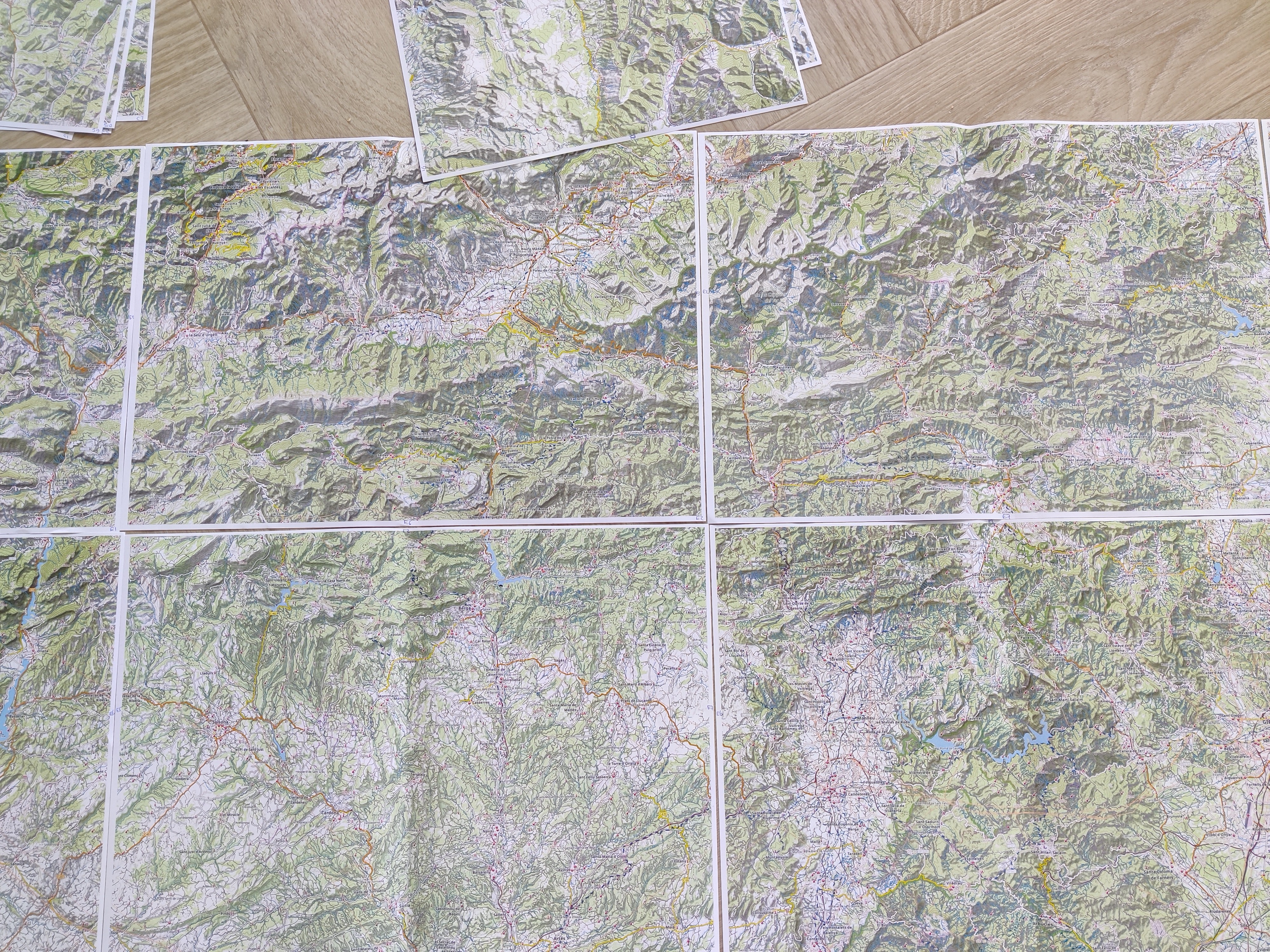
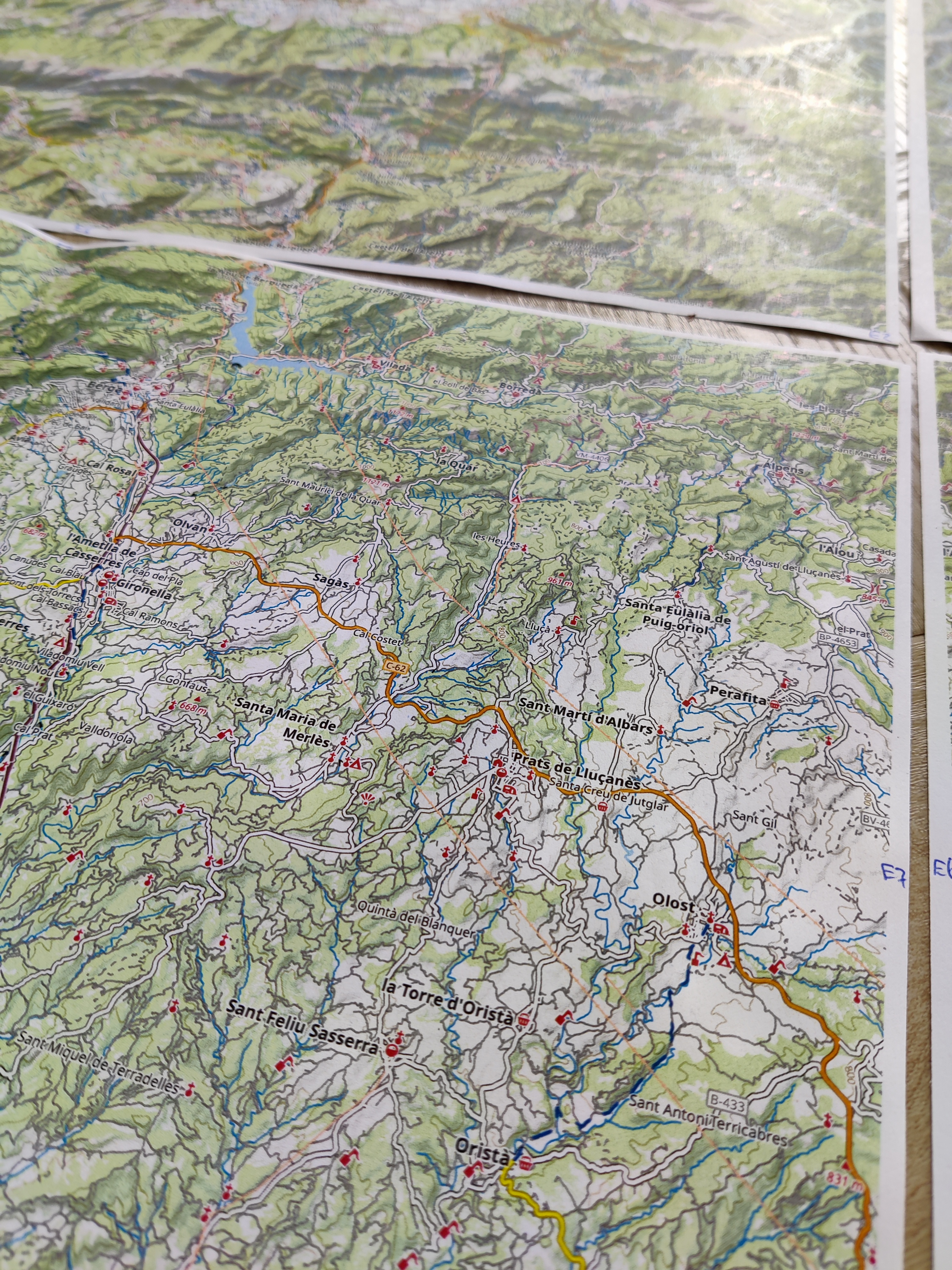
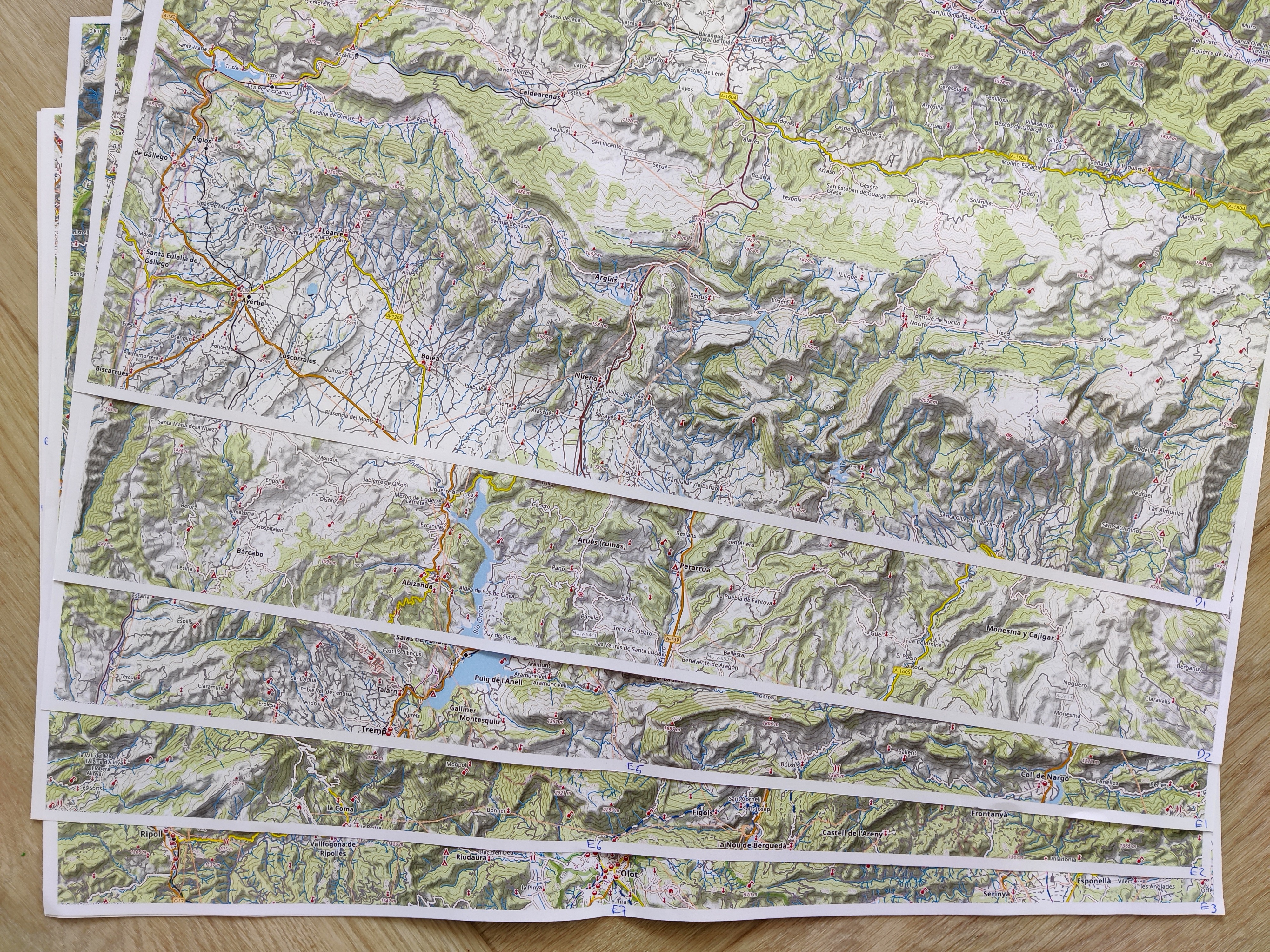
Determine the bounding box of the region you want to print. The bounding box will be used to determine the number of pages to print. If everything fits on one page (of the configured paper size) then padding is added until the page is filled exactly. If the content needs more than one page, then multiple tiled pages are generated to cover the bounding box area, with the configured page overlap (5% by default).
The Map bounds tool can be used to choose coordinates on a map in a visual manner.

In addition to the visual tool, the script container hiddewie/map-it-bounds can be used. This commandline tool contains the same logic in the visual tool and as in the map generation script. The output will contain the bounding boxes for each page that will be generated. These values can be used for other commands.
docker compose run map-it-bounds
(You can also build it yourself using docker compose build map-it-bounds)
Data download & import
Make sure you have created an account U.S. Geological Survey. The USGS service is used to download terrain height information in high resolution.
Then, download and import the data of the map using the docker image hiddewie/map-it-import. Map the data directory of this project to the container. Some files are downloaded there that are used for shading the map. Run it using
docker compose run map-it-import
(You can also build it yourself using docker compose build map-it-import)
Additionally, you can import a .gpx file to visualize on the map using the GPX_FILE environment variable. Importing a .gpx file will replace the OpenStreetMap cycling routes on the map.
Used technology:
- Phyghtmap
- Osmium(-tool)
osm2psqlshp2pgsql, part of PostGIS- GDAL
- GeoFabrik as a data source for OSM data
- U.S. Geological Survey as a data source for elevation data
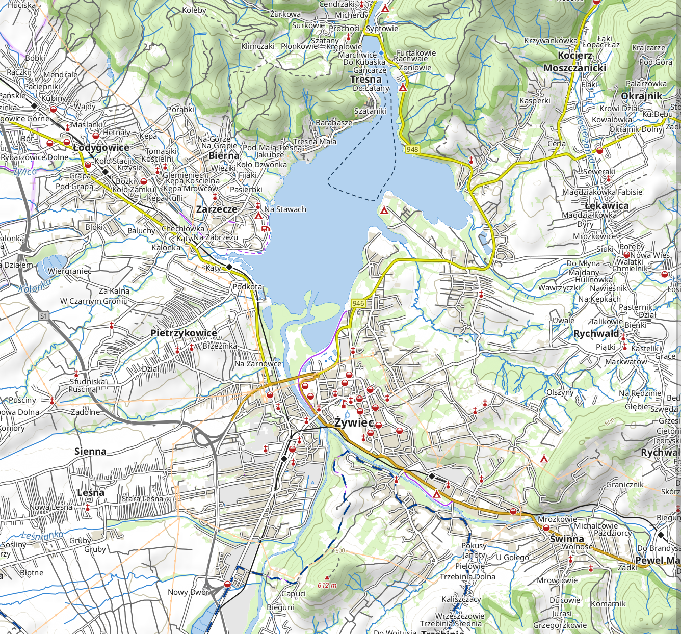
Map
Let’s generate a map. Use the image hiddewie/map-it and run it using
docker compose run map-it
The map will be written to the mapped volume in the /output directory. The mapnik XML config will also be written there.
The bounding box does not need to fit perfectly on one page. If it does not, padding will be added or multiple pages will be generated.
(You can also build it yourself using docker compose build map-it)
Used technology:
- CartoCSS
- Mapnik
- Icons from OpenStreetMap Carto style
Legend
The same Docker image can also generate a legend in the output folder.
docker compose run map-it legend.sh
The legend will be generated in the output/legend.pdf file.
Used technology:
- CartoCSS
- Mapnik
- Icons from OpenStreetMap Carto style
Tiles
The same Docker image can also generate tiles in the output folder. Instead of generating a PDF map, these tiles can be used for a sliding online map.
docker compose run map-it tiles.sh
The tiles will be generated in the output/tiles directory.
Used technology:
- CartoCSS
- Mapnik
- Icons from OpenStreetMap Carto style
- Tile rendering script based on generate_tiles.py
Script parameters
The lists below describe the parameters used for the scripts, including defaults.
Import script
- PG_HOST (default localhost)
- The Postgres database host
- PG_PORT (default 5432)
- The Postgres database port
- PG_USER (default osm)
- The Postgres database user
- PG_PASSWORD (default empty)
- The Postgres database password
- PG_DATABASE (default gis)
- The Postgres database
- PG_LEGEND_DATABASE (default legend)
- The Postgres database where the legend will be stored
- FEATURE_COUNTRIES (required, default empty)
- Countries that will be downloaded from GeoFabrik. Separated by whitespace. For example europe/netherlands/overijssel europe/slovakia europe/poland/slaskie europe/poland/malopolskie.
- USGS_USERNAME and USGS_PASSWORD (required, default empty)
- Create an account for accessing U.S. Geological Survey for terrain information. This can be done for free . Set the credentials in these environment variables.
The phyghtmap tool is used for downloading terrain information.</dd> - BBOX (required, default empty)
- Of the form A:B:C:D, for example 5.3:51.1:6.8:53.0056 where (A, B) is the lower left corner of the bounding box and (C, D) is the top right corner. Specify in longitude - latitude order in the EPSG:4326 coordinate system.
- GPX_FILE (default empty)
- A path to a .gpx file mounted in the Docker image. The .gpx file will be imported and shown on the map instead of OSM cycling routes. </dl> Optional extra parameters for tweaking the import of downloaded OpenStreetMap data into the database:
- OSM2PGSQL_CACHE (default 1024)
- The cache size in mega bytes that the import script may use.
- OSM2PGSQL_NUMPROC (default 4)
- The number of processes that import script may use.
- PG_HOST (default localhost)
- The Postgres database host
- PG_PORT (default 5432)
- The Postgres database port
- PG_USER (default osm)
- The Postgres database user
- PG_PASSWORD (default empty)
- The Postgres database password
- PG_DATABASE (default gis)
- The Postgres database
- PG_LEGEND_DATABASE (default legend)
- The Postgres database where the legend will be stored
- MAP_NAME (default map)
- The name of the map. Used for generating filenames. Existing files will be overwritten. When multiple pages are generated, they are all added to the same PDF file.
- BBOX (required, default empty)
- Of the form A:B:C:D, for example 5.3:51.1:6.8:53.0056 where (A, B) is the lower left corner of the bounding box and (C, D) is the top right corner. Specify in longitude - latitude order in the EPSG:4326 coordinate system. Multiple bounding boxes maybe concatenated with ,.
- SCALE (default 1:150000)
- The scale of the map, when printed on the indicated paper size. The value is of the form 1:N with N a number.
- PAPER_ORIENTATION (default portrait)
- The orientation of the generated page. Valid values: portrait and landscape.
- PAPER_SIZE (default A4)
- The size of the generated page. Valid values: A0, A1, A2, A3, A4 and A5, or any value of the form A mm x B mm (millimeters), A in x B in (inches) or A m x B m (meters) with A and B numeric values. For example A1, 10 mm x 100 mm or 20 in x 5 in.
- PAGE_OVERLAP (default 5%)
- A percentage of the form '5%' or '10.1%'. The percentage of each page is taken on all four sides of the paper as padding. When multiple pages are generated the padding will cause overlap between the pages.
- PG_HOST (default localhost)
- The Postgres database host
- PG_PORT (default 5432)
- The Postgres database port
- PG_USER (default osm)
- The Postgres database user
- PG_PASSWORD (default empty)
- The Postgres database password
- PG_DATABASE (default gis)
- The Postgres database
- BBOX (required, default empty)
- Of the form A:B:C:D, for example 5.3:51.1:6.8:53.0056 where (A, B) is the lower left corner of the bounding box and (C, D) is the top right corner. Specify in longitude - latitude order in the EPSG:4326 coordinate system. Multiple bounding boxes maybe concatenated with ,.
- NUM_THREADS (required, default 6)
- The number of threads that will be used to concurrently render tiles.
- MIN_ZOOM and MAX_ZOOM (required, both default 12)
- The minimum and maximum zoom level to generate.
- TMS_SCHEME (true or false, default false)
- Generate tiles for schemes with the TMS format of the y coordinate.
- SKIP_IF_EXISTS (true or false, default true)
- Whether tile generation should be skipped if the tile file already exists.